If you’ve been following our posts since June 2015, you may have noticed that we launched the beta version of Pano2VR 5. There are so many new features that we are constantly adding tips and tutorials so you can learn how to use them.
Adding Google Maps
One of the features is the ability to easily add a Google Map to your project so users can see exactly where the panorama was taken. If you’re a pro user and have a tour, you can add multiple nodes to the map. Martin has created two tips to show how this can be done.
The first one is an introduction and will show you how to set the location (if there is no location information in the image) and then how to add the map to the project.
The second one is a continuation of the first and is quite advanced. In this one you’ll learn to create custom map markers.
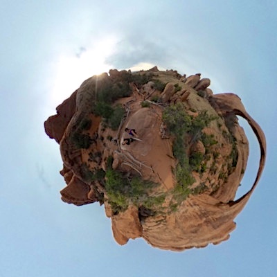
Little Planets
Little Planets are so much fun! Here’s one of mine, taken recently at Arches National Part with the Ricoh Theta:
Clik here to view.

Watch Martin’s recent tip and learn how to make your own in Pano2VR 5.
